Total Pageviews

Saturday, January 19, 2013

Still more of the model...

More pics of the MS River model and it's features...
The river channel and a small backwater or tributary?
I think this is a smaller river joining with the Mighty Mississippi...
Another picture depicting the scope of this model, it just keeps on going forever it seems...
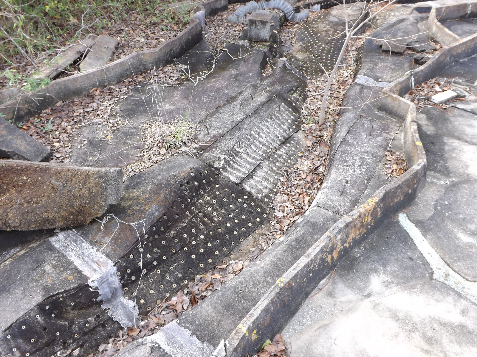
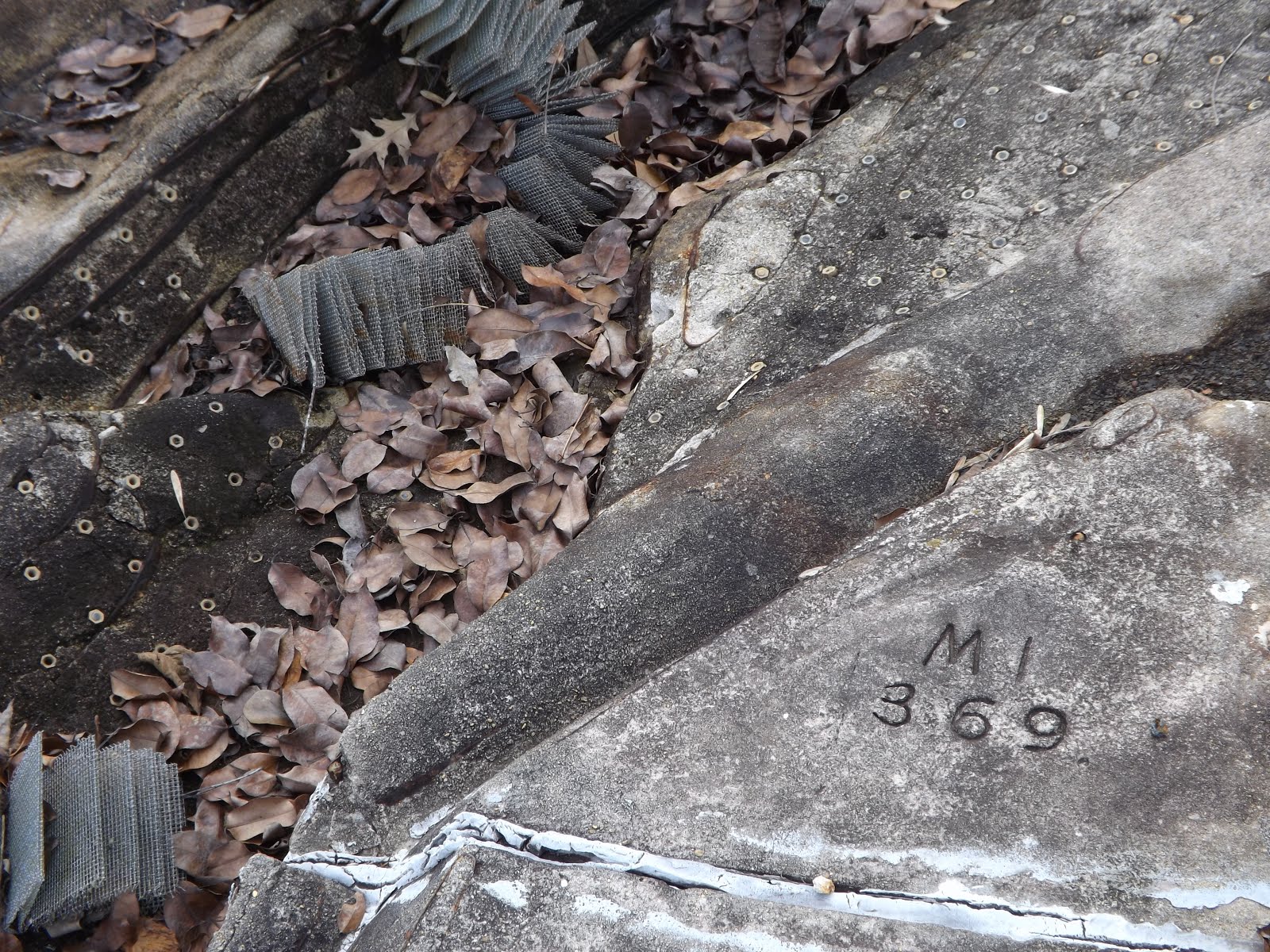
And I'm assuming these are mileage markers.
Inside one of the buildings along the model, I found this room full of rolls of paper with small holes punched in it. Some kind of test results or experiment findings I suppose..
One end of a roll close up. It reads "Tenn. River - KY Dam, 1973 flood, Final Verification Data"
one of the rolls on a shelf
The water tower next to the main pump house
This is the main pumping station, the roof over the water holding area is collapsing badly.
This is a walkway going into the main pump house
My exploration partner would go no further... she didn't like the open mesh gangway very much.
inside the flooded pump house, holding tank of sorts, I would guess
doorway into the pump room
Inside the main pump room..
Hoist hanging from the ceiling...
Not a clock, not a thermometer..
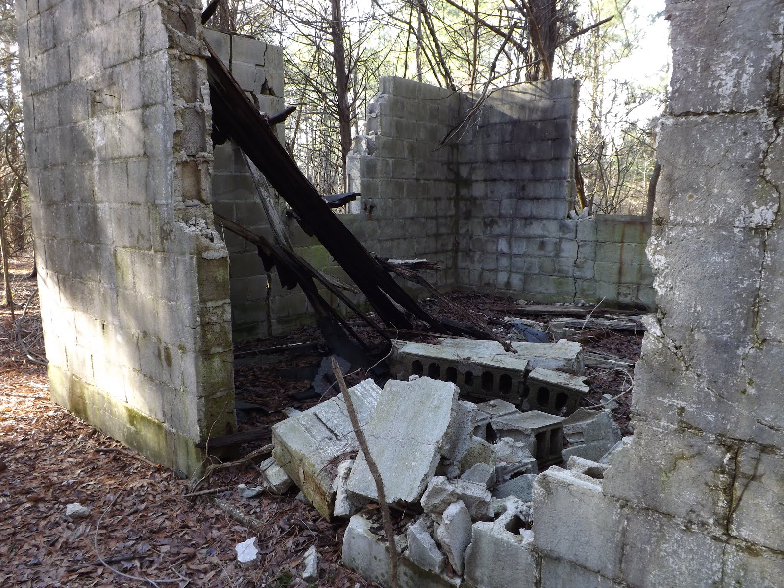
just outside a building next to the pump house
Below ground pump, there were several of these every 100 feet or so on both sides of the model
Steel box fastened to concrete pad, which was the only thing inside a chain link fence with barbed wire around the top... makes you wonder what they kept in there.
moss growing in the river bottom...
The "rims" or edges of these waterways have a metal strip embedded, looks as if the metal was a "form" of sorts for the concrete.

Mississippi River Basin model

There is a scale model of the Mississippi River Basin located in the middle of Butts Park in Clinton, MS. It was built by German POW's during World War II, working for the Corps of Engineers. It takes up probably 8-10 acres and is very detailed. Metal screening, folded accordion style symbolizes wooded areas and it is complete with what looks to be levees.
These metal "bridges" span the channel all along the route, I suspect they were covered in wood to allow the engineers to cross back and forth while analyzing the model. The river channel itself was lined with small metal hexagons with a threaded hole through the center embedded in the concrete. It wasn't till later in my exploration that I found an area that had small rectangular plastic pegs inserted in these fittings. I'm guessing that they slowed and smoothed out the flow of water as it traveled through the model. Just my guess...could be way off.
Here's a view of the river model showing some of the features that are incorporated into it. There are large pumping stations along the model, some above ground, some in pits along the route..
There are what appear to be other rivers merging with the model along the route, or maybe they are just backwater areas. Here is a view from a rusty metal tower in the center of the area showing a view towards what I believe to be the "head" of the river.
Here's a pump house, or at least that's what it looks to be. A large electric motor is belt driving a pump or compressor on the other end.

More structures at the old WES...

I went back today and went to the very back of the park where there are few/no trails and looked around. There are old foundations everywhere, a few old buildings still standing here and there, some empty and some with machinery still inside, although now it's quiet and rusting away. Old pumps, some with engines still attached, most with parts that have been removed long ago.
It's hard to tell what types of buildings most of these were, some have electrical and plumbing still laying around, most are just cinder block and concrete pieces left to the elements.
.
The buildings are slowly being taken over by nature and decay, some by indirect means, trees falling have caused damage to some, most are just succumbing to the elements. most buildings still standing have windows, but there are several with bars over single windows and steel doors, fallen askew, but intact
More foundations giving way to trees, etc...
This drain looked kind of out of place, about 3 ft long, draining to nowhere particular now that it's surroundings are gone. And the gas can doesn't look as if it has been touched since 1969 when this place shut down..
There were piles of rocks at several places, some large, some small piles. And on the way out, I came by to check on a Geocache that I placed here quite a few years ago. If you don't know what a geocache is, visit geocaching.com, it's a good way to get out and see interesting places, like this...